 DeepmindNov 1, 2026 05:25 UTC
Google and WRI Release Global Forest Map Powered by AI
Google DeepMind and the World Resources Institute (WRI) have released ForTy, a global-scale forest classification map powered by satellite data and AI. While the map can classify land into six categories including primary forests and plantations, it faces challenges with identification rates of around 50-60% for planted forests and tree crop areas.
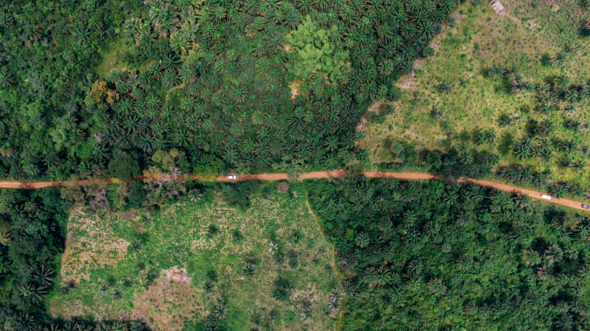
Google DeepMind and the World Resources Institute (WRI) have released ForTy, a global-scale forest classification map combining satellite data and AI. The map classifies forests and land on Earth into six categories, distinguishing between primary forests, planted forests, tree crop areas, and others. One key feature is the ability to identify land types with greater granularity than traditional forest maps, which often group these categories together.
The growing importance of forest classification is driven by international regulatory developments. The European Union has established rules regulating the import of commodities linked to deforestation, creating a requirement for greater transparency in land use across supply chains—from raw material sourcing to product distribution. To comply with such regulations, accurate maps that can precisely identify forest types and conditions are essential. ForTy is positioned as a tool capable of meeting these demands.
However, ForTy currently faces accuracy challenges. As confirmed, the map identifies only about half of planted forests and tree crop areas respectively, and achieves only about 60% accuracy for plantations. In other words, substantial cases remain unidentified in these land classifications, meaning the map does not yet provide complete information.
Meanwhile, efforts to understand global-scale forest changes have been ongoing, and combining satellite data with AI has significantly improved both resolution and speed. ForTy can be seen as part of this trend. However, accurately distinguishing vegetation types from satellite data is technically challenging, and the boundaries between agricultural land, planted forests, and natural forests tend to be ambiguous, which poses a barrier to improved accuracy.
From the perspective of EU regulatory compliance, ForTy is at a stage where further improvements in identification accuracy are necessary to enhance its practical utility. When companies evaluate forest-related risks in their supply chains, the realistic approach at this stage would be to use ForTy in combination with complementary information sources. A gap remains between accuracy improvements and practical implementation.
Such gaps between technological accuracy and policy requirements are common challenges across earth observation tools in the AI field. How ForTy will be improved, and to what extent it will be utilized in actual policy enforcement and corporate compliance efforts, will be important points of focus going forward.
This article is an original work independently written and edited by the AI issue editorial team based on factual reporting. © AI issue. Unauthorized reproduction, redistribution, or use for AI training is prohibited.